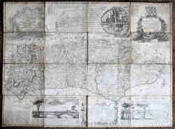
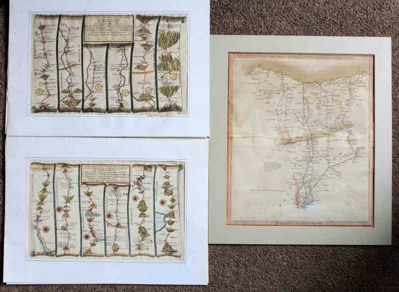
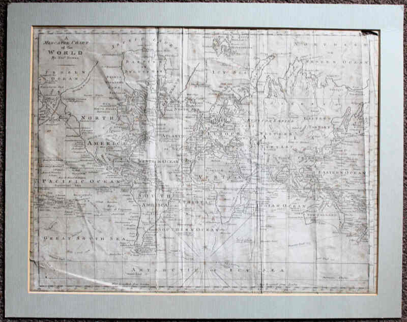
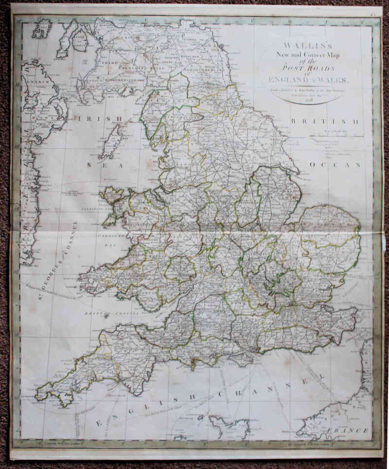
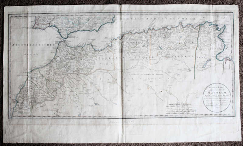
Antique Maps including North Africa 1789 (47 x 82cm) by E.A. Schraembl, Vienna; Sussex by Bowen 1750s (42 x 68cm) dissected, cloth-backed;
- Lot No:
- 122
- Auction No:
- 430
- Auction Date:
- Wed 20th Nov 2024 12:00 (Ended)
SOLD £62
Antique Maps including North Africa 1789 (47 x 82cm) by E.A. Schraembl, Vienna; Sussex by Bowen 1750s (42 x 68cm) dissected, cloth-backed; two hand-coloured strip maps (Monmouth to St. David's); and England & Wales by Wallis 1798. Most hand-coloured in outline. Small faults to the Sussex map. (7)
