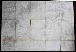
Map of Whaley Bridge, Kettleshulme & Pott Shrigley: Ordnance Survey 1913, 6 inches to the mile, dissected, cloth-backed. 32 x 40”
- Lot No:
- 124
- Auction No:
- 430
- Auction Date:
- Wed 20th Nov 2024 12:00 (Ended)
UNSOLD
Map of Whaley Bridge, Kettleshulme & Pott Shrigley: Ordnance Survey 1913, 6 inches to the mile, dissected, cloth-backed. 32 x 40”

